Kotaro Asahina
A map is only as trustworthy as the person who made it. So here is who made this one, and where the habits behind it came from.
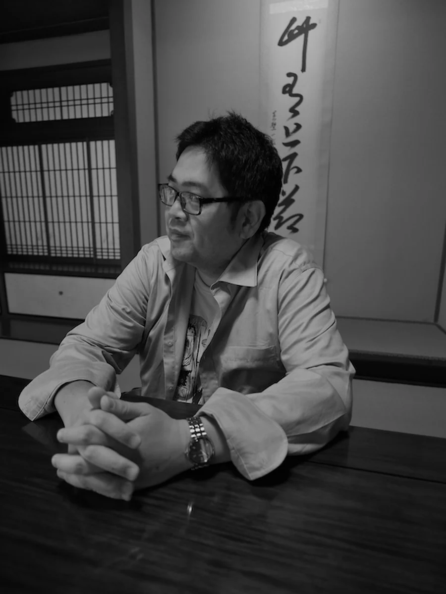
GPS and C, learned as an apprentice
The positioning work behind KUON GEO began with an apprenticeship. Kazuhide Kobayashi, president of Geosense Inc. (Miki, Hyogo, founded 2006), taught me GPS and the C language: not as lectures, but as the working habits of someone who had spent years building surveying systems.
Geosense built the F9PX1, a GNSS receiver board around u-blox's ZED-F9P, and released a CLAS-capable board for QZSS. Those are the machines this map's habits were learned on.
What I took from that apprenticeship is not a set of formulas. It is a discipline: never dress a Float up as centimetres. Show carrSoln as it is. State the baseline, the antenna, the sky. When a fix does not come, say so. Every page on this site follows that rule, and it came from him.
Why this map only shows what was measured
KUON GEO shows elevation from laser altimetry, temperatures from a rover's instruments, base stations from a caster's own source table. Nothing here is generated, upscaled or filled in.
That is not modesty. A map that quietly invents detail is worse than no map, because you cannot tell which parts to trust. So the resolution limit, the observation years and the provenance are printed on the page rather than hidden.
The other half: recording
Before positioning there was music. I studied ethnomusicology, worked as a pianist, researched improvisation in Sweden and made an album in Cologne.
The recording side came from another apprenticeship: Akihiko Goto taught me Kaneda-style DC recording: a Japanese lineage of direct-coupled amplifier design where every part of the signal path is accounted for.
It is the same discipline in a different domain. Know what your instrument is actually measuring. Do not let the pretty result hide the honest number.
What is built here
KUON GEO collects GNSS and RTK, weather and space weather, and keeps the originals unmodified. Derived layers are built beside them, never on top of them.
Mars and Moon terrain from NASA and USGS laser altimetry. Bear sightings in Sapporo, archived daily since 2017. A roster of public RTK base stations worldwide, polled every ten minutes and served openly to anyone's receiver.
No account. No token. Free.
In brief
| Measured | RTK logs in Tokachi (2025): 22 logs, 199 km; public RTK base list polled every 10 minutes since 3 July 2026 |
|---|---|
| Written | GNSS in Japan, a field guide for engineers arriving from abroad; a page for every municipality; the point card of warnings and hazards |
| Name | Kotaro Asahina |
| Role | Artist · Founder of Kuon R&D |
| GPS and C | Apprenticed to Kazuhide Kobayashi, President, Geosense Inc. |
| Recording | Kaneda-style DC recording, learned from Akihiko Goto |
| Builds | KUON GEO · KUON MARS · KUON MOON · Kuon R&D |
| Contact | 369@kotaroasahina.com |
Elsewhere
- ORCID 0009-0002-2530-4142
- Dataset on Zenodo (DOI 10.5281/zenodo.22064426): community RTK base station availability log
- KUON GEO on YouTube
- The Sound Lab on YouTube (Kotaro Asahina)
- Personal site
- kurashigram: cost of living in Japan
- Kuon R&D: the full profile
- Kuon R&D: tools for musicians
- The philosophy of KUON GEO
- Let the receiver pick the base station