KUON GEO

Kuon R&D · Sky Lineage

KUON GEO

Updates

What became possible on KUON GEO, newest first.

November 2026

  1. Tool KUON SKY: tonight's star chart, sky diary and ISS passes, with the terrain Pick a place and time and see the whole sky: 8,954 stars, planets, the Moon and the Messier objects, with the part hidden by the surrounding hills drawn over it. Rise, transit and set, a 24-hour altitude curve, twilight times, lunar phases, conjunctions, eclipses, meteor showers and sunlit ISS and Tiangong passes. All computed in your browser.
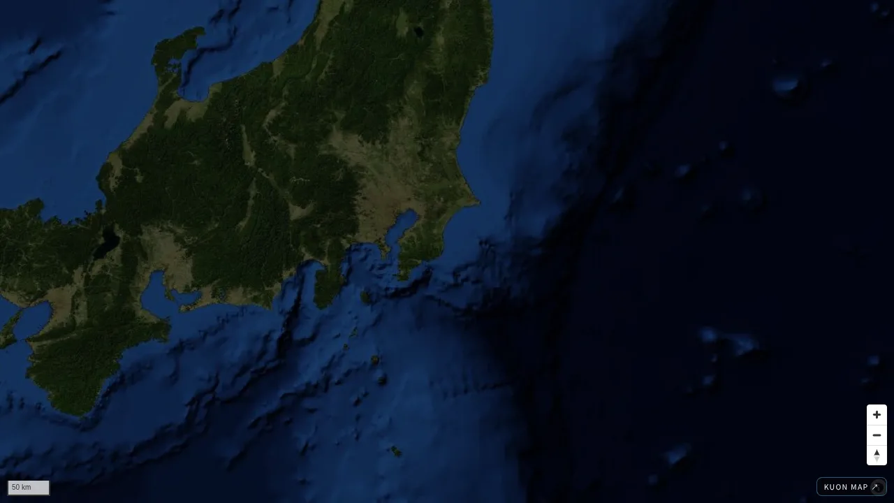
  2. Map JAXA Earth observation on KUON MAP: rain, ground temperature, greenness, sea Move a timeline through JAXA satellite records: monthly rain since 2000, ground temperature and greenness since 2018, and sea temperature. Tap a point for its value and a chart of how it changed. GPS logs you load can be compared with the satellite surface height (AW3D30) and that day's rain.

October 2026

  1. Map Recent satellite photos on KUON MAP, compare by date Click anywhere in the world to see Sentinel-2 photos from the past year, about every 5 days, and switch dates to see what changed. 10 m per pixel, 5 to 20 km square, saved as PNG with the source.

September 2026

  1. Map KUON GEO NEXT: next bus in Tokyo and 9 more regions Pick a place and see the minutes to the next bus, tram or boat in 8 languages. Tokyo (Asakusa, Shibuya, Shinjuku, Tokyo Station and 6 more) with where each Toei bus is now, plus Kochi, Tokachi, Hiroshima, Okinawa and others.
  2. Map Police box near me: the nearest koban and safe convenience store One button shows the nearest police box and Safety Station store with minutes on foot and a line on the map. 6,270 koban across Japan, 8 languages, and it opens without signal once saved to your phone.
  3. Data Police boxes by municipality, 1,726 cities and wards Every police box, residential police post and police station in each municipality, by name and on the map, from the 47 prefectures.
  4. Article Emergency numbers in Japan, and help in Japanese 110, 119 and the 24-hour visitor hotline, whether you can speak English on them, and 12 phrases to show or play aloud.
  5. Data KUON PWV: water vapour over Kinki, minute by minute Precipitable water vapour from public RTK bases around Osaka, Kobe, Kyoto and Nara, every 30 seconds. Observed, not forecast, about two hours behind, with every product and constant named.
  6. Map Satellites now, and a spinning Earth 171 positioning satellites and about 12,000 operational satellites, computed live with SGP4 on an equal-area map. Spin the Earth with day and night, put south up, see Mercator's biggest lies ranked.
  7. Article How big is each country, really One page per country: true area, how many times Mercator inflates it, the country that is really the same size, population, economy and satellites, with years.
  8. Map Carry a country to the equator Grab any country and drag it north or south. On Equal Earth it keeps its size; on Mercator it swells. The map now also shows each country's statistics.
  9. Map KUON EQUAL EARTH The equal-area world map the UN recommended. Seven projections, click a country to see how many times larger Mercator draws it.
  10. Article What is the Equal Earth projection 164 to 1 at the General Assembly on 4 September. What it keeps, what Mercator does to area, the formula.
  11. Article Map projections, explained Conformal, equal-area, compromise. Mercator's 1/cos²φ, Gall-Peters to Equal Earth, and QGIS, PROJ, Python with EPSG:8857.
  12. Article How many QZSS satellites are flying Described as seven, five are operating. The fifth was lost at launch; the seventh reached orbit in August 2026.

August 2026

  1. Article Where a lost cat actually is What 1,210 cases show about distance, time and place, with a search tool built on the same numbers.
  2. Map Mercury, Venus and Pluto Global terrain from USGS elevation models, tiled by us. The unmeasured share of each world is stated on the page.
  3. Map KUON LIVE Live video from the Space Station and the newest Himawari, GOES and Meteosat frames, archived every ten minutes.

KUON GEO

Contact

A map, a dataset or a place you need to know. Write to us.

Subject

KUON TOOLS

Which app?

Tools for files, coordinates and drawings. No account needed.

Define Every Existence: KUON GEO
KUON MAP

Loading maps

000%

map/still.webp

KUON GEO is the sky lineage of Kuon R&D. Positioning, weather and space weather, recorded with their provenance.