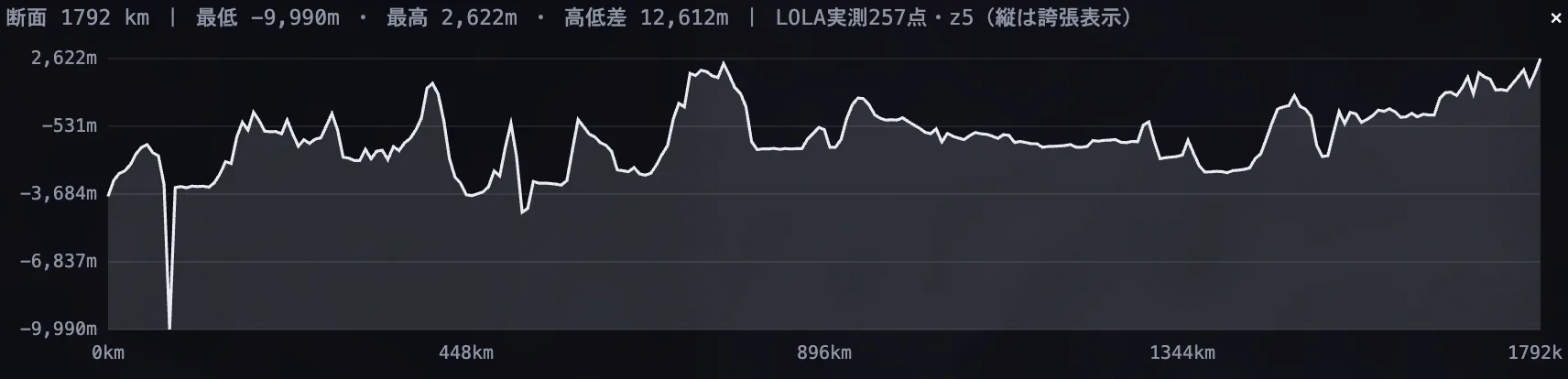
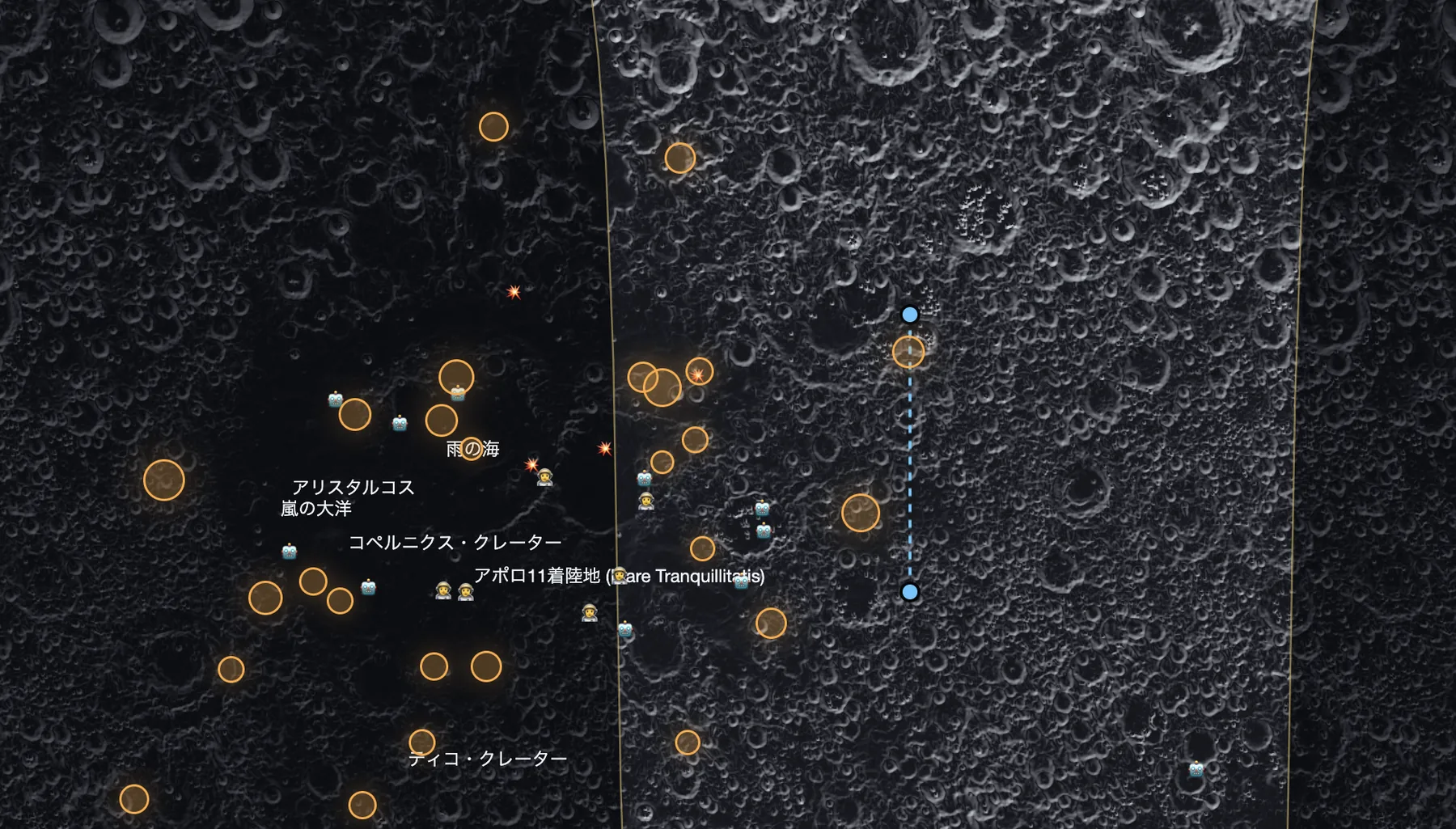
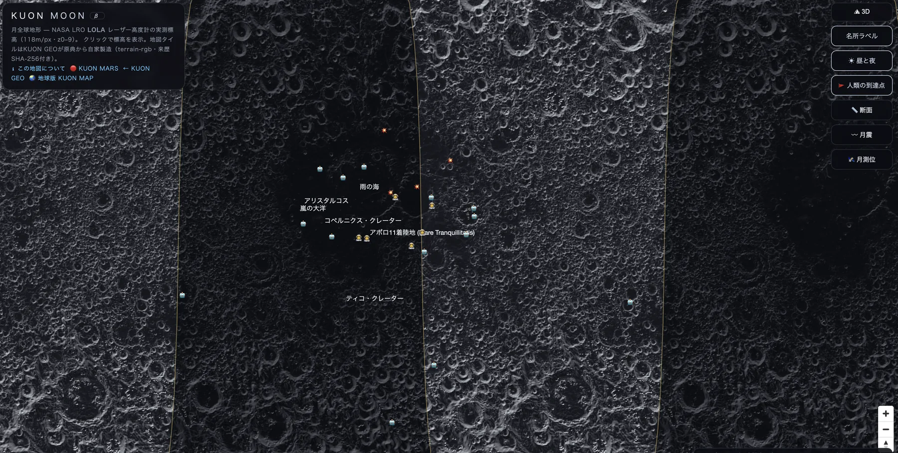
The Lunar Reconnaissance Orbiter has measured the Moon with billions of laser shots since 2009. KUON GEO builds every tile from that original data, at 118 m per pixel: four times sharper than our Mars map. Click anywhere and read the true elevation.
Open the Moon mapfree · no account · runs in your browserWherever you click, the elevation shown is decoded from the observation data baked into the tile itself. No estimates, no AI in-painting. From the young rays of Tycho to the basalt plains where Apollo 11 landed.

The Moon has almost no atmosphere, so there is no weather to report: we will not invent any. What exists instead is a positioning and radiation environment, and it is about to matter commercially. KUON GEO already archives space weather daily and tracks every revision of LunaNet, the emerging lunar navigation standard, as primary sources.
KUON MOON embeds no third-party map service. We download the original observations, verify them, encode them into tiles, and record the provenance of every step.
Yes. KUON MOON is a full-globe map built from LRO LOLA laser altimetry, so the far side — invisible from Earth and first photographed only in 1959 — is fully explorable, with measured elevations.
The highest terrain rises about +10,786 m in the far-side highlands; the lowest floors lie around -9,100 m inside the South Pole-Aitken basin, the largest confirmed impact basin in the solar system.
Yes. They are measurements by NASA's LOLA laser altimeter aboard Lunar Reconnaissance Orbiter (118 m/px), tiled by KUON GEO directly from the USGS original with verification at every step. No generative AI, no invented detail.
No: the Moon has only a negligible exosphere, so there is no weather and this map does not pretend otherwise. What KUON GEO does archive is space weather (solar activity affecting positioning) and the LunaNet lunar-navigation standard as primary sources.
The map uses the Mercator projection, which mathematically cannot show latitudes beyond ±85°. Rather than distort or fake the polar regions — including Shackleton Crater — we state the limit and reserve a proper polar-projection layer for the future.
Free, with no account required. Source: NASA LRO LOLA via USGS Astrogeology (public domain, authors cited); tiles and hosting by KUON GEO.