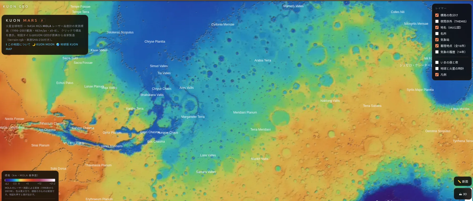
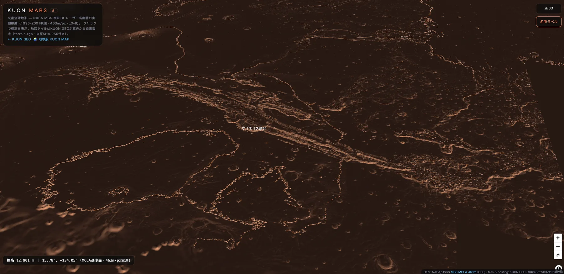
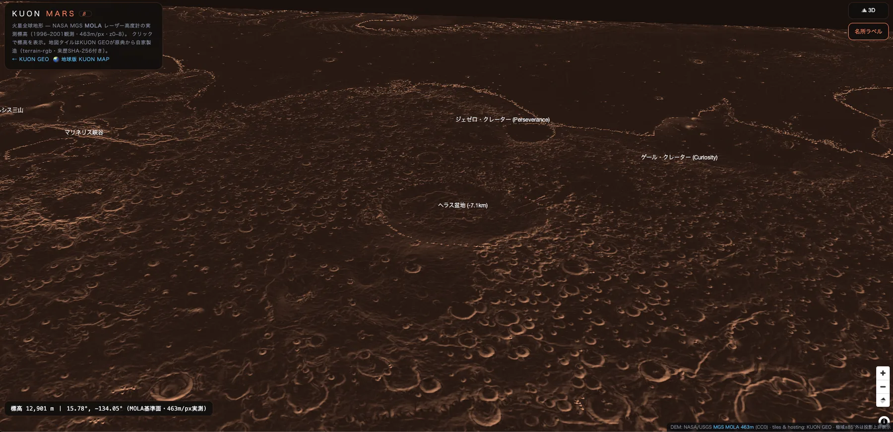
Six hundred million laser measurements, taken over five years by NASA's Mars Global Surveyor. KUON GEO builds every map tile from that original data. Click anywhere and read the planet's true elevation.
Open the Mars mapfree · no account · runs in your browserWherever you click, the elevation shown is decoded from the observation data baked into the tile itself. No estimates, no AI in-painting. From the tallest volcano in the solar system to its deepest impact basin.

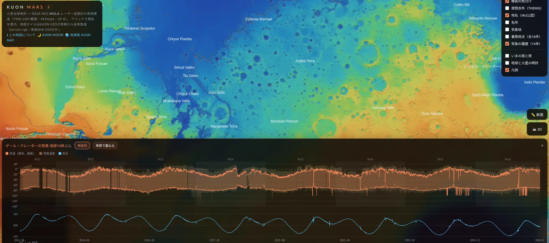
Mars has weather. At Gale Crater, the Curiosity rover still measures air temperature, ground temperature and pressure every single sol, and KUON MARS shows those measurements a few sols behind reality: the green pin on the map. Archives for Jezero (MEDA) and Elysium (InSight, 2018-2022) connect in August, followed by KUON estimated spots calibrated against them.
KUON MARS embeds no third-party map service. We download the original observations, verify them, encode them into tiles, and record the provenance of every step.
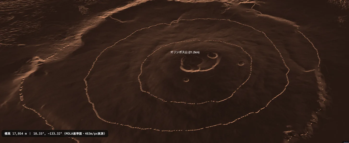
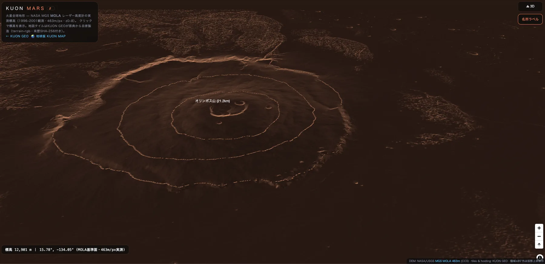
Olympus Mons, at about 21,229 m above the MOLA reference surface: roughly 2.4 times Mount Everest, and the largest volcano in the solar system. Click its summit on KUON MARS to see the measured value.
Hellas Basin, about -8,200 m deep and 2,300 km across: a giant impact basin with the densest air on the planet.
Yes. They are the measurements of NASA's MOLA laser altimeter aboard Mars Global Surveyor (1996-2001, 463 m/px), tiled by KUON GEO directly from the USGS original (CC0) with verification at every step. No generative AI, no invented detail.
Yes. The atmosphere is under 1% of Earth's, but dust storms, ice clouds, fog and seasons are observed. KUON GEO archives the orbiter's global weather reports weekly and will publish them as a map overlay soon.
Free, with no account required. Source: NASA/USGS MGS MOLA (CC0); tiles and hosting by KUON GEO.